ANCIENT ROME CITY PLAN RECOVERED
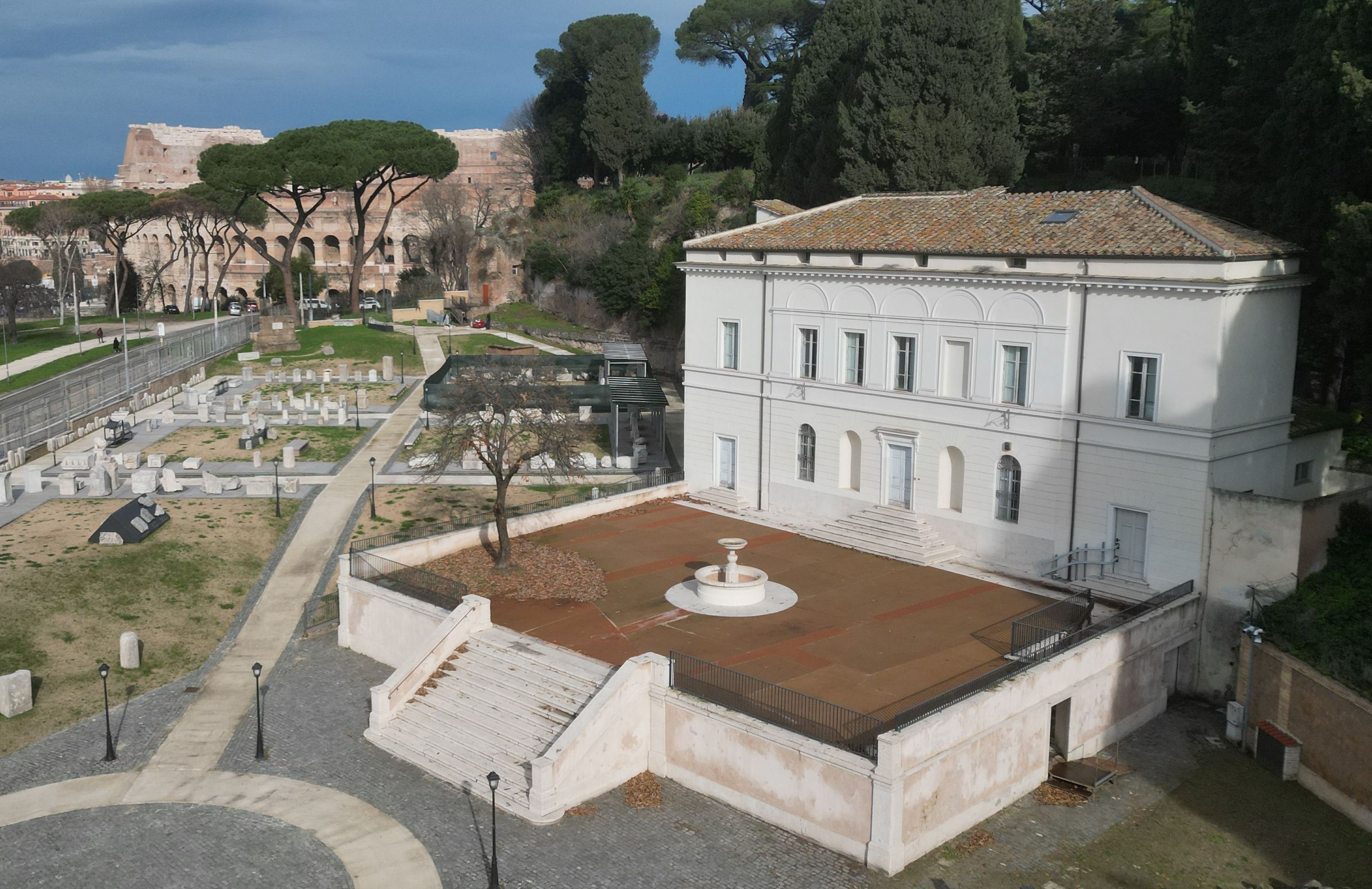
A fascinating museum has just reopened on the previously neglected Celio Hill exhibiting a unique collection of archaeological remains that had been shut away and virtually forgotten for almost a century.
The Celio Hill is one of the fabled Seven Hills, situated between the Palatine and the Colosseum. It contained an Antiquarium (collection of antiquities), with a vast store of finds from excavations in the area during the 1890s. However, the building was undermined by work during the construction of the Metro A line and closed to visitors for security reasons in 1939. The area, which also included a botanical garden, also hosted the former Fascist Palestra di GIL (a Youth Sports and Cultural Centre) and the 1835 Casina dei Salvi coffee house.
The latter two buildings have now been restored and converted into museum and study areas. The Palestra di GIL has been re-named il Museo della Forma Urbis (known in English as the Severan Marble Plan), a 3rd century AD gigantic city map of Ancient Rome that was once fixed on the wall of the Temple of Peace in the Roman Forum area. Originally the map measured 235 sqm and was engraved on 150 marble panels. Only about a tenth of the original map has survived. These can now be seen, laid out in accordance with the plan recreated in 1748 by cartographer-engineer Giovanni Battista Nolli. on the pavement of the main hall of the museum.
The surrounding park has been transformed into an open air museum, strewn with archeological fragments of sculptures, cornices, inscriptions and tombstones, from the former Antiquarium.
The Archeological Park and Museum are open every day except Monday.
MSTENHOUSE
Info: Tel. 060608 www.sovraintendenzaroma.it